


The Billing System That Cried Wolf: Why AI Cannot Stand In for Certainty
Telecom operators are increasingly being told that AI can run their BSS. That assumption is not just optimistic – it…
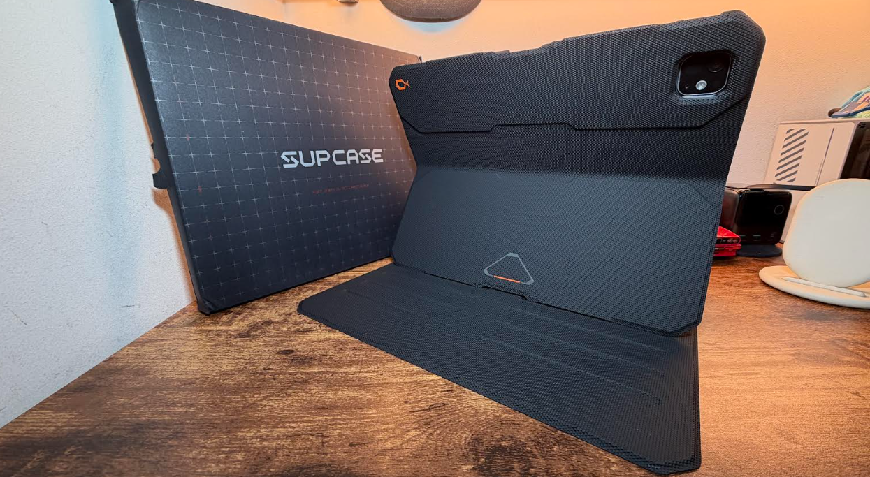
SUPCASE – UB Aero Series iPad Pro 13 Case Review
The SUPCASE – UB Aero Series iPad Pro 13 Case is the only cover you need for you iPad Pro…

Review – The cordless MeacoFan 260c Air Circulator.
I have always had a fan of some sorts be it in the bedroom,office or sitting room and recently reviewed…
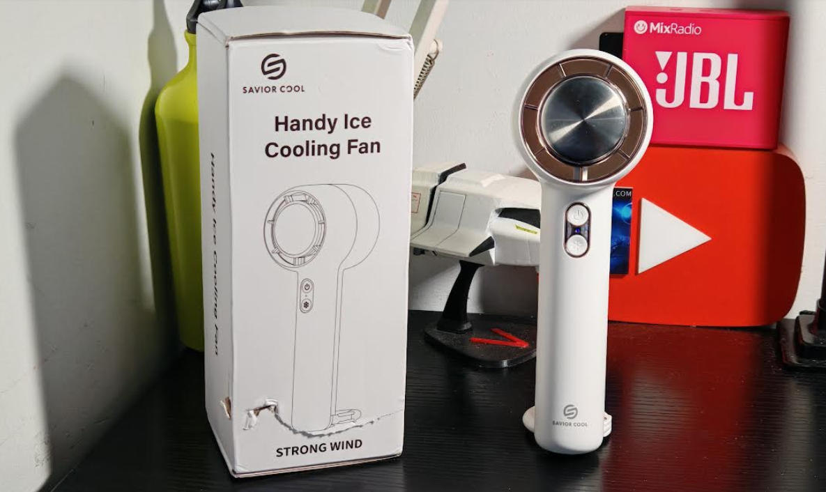
Tech Review – Savior Cool Handheld Cooling Fan
The Savior Cool Handheld Fan is a product that everyone needs this Summer, after checking out several similar products over…

Tech Review – Jisulife Neck Fan Pro 3
Not so long ago we had a scorcher of a few weeks and hopefully not the last but now as…
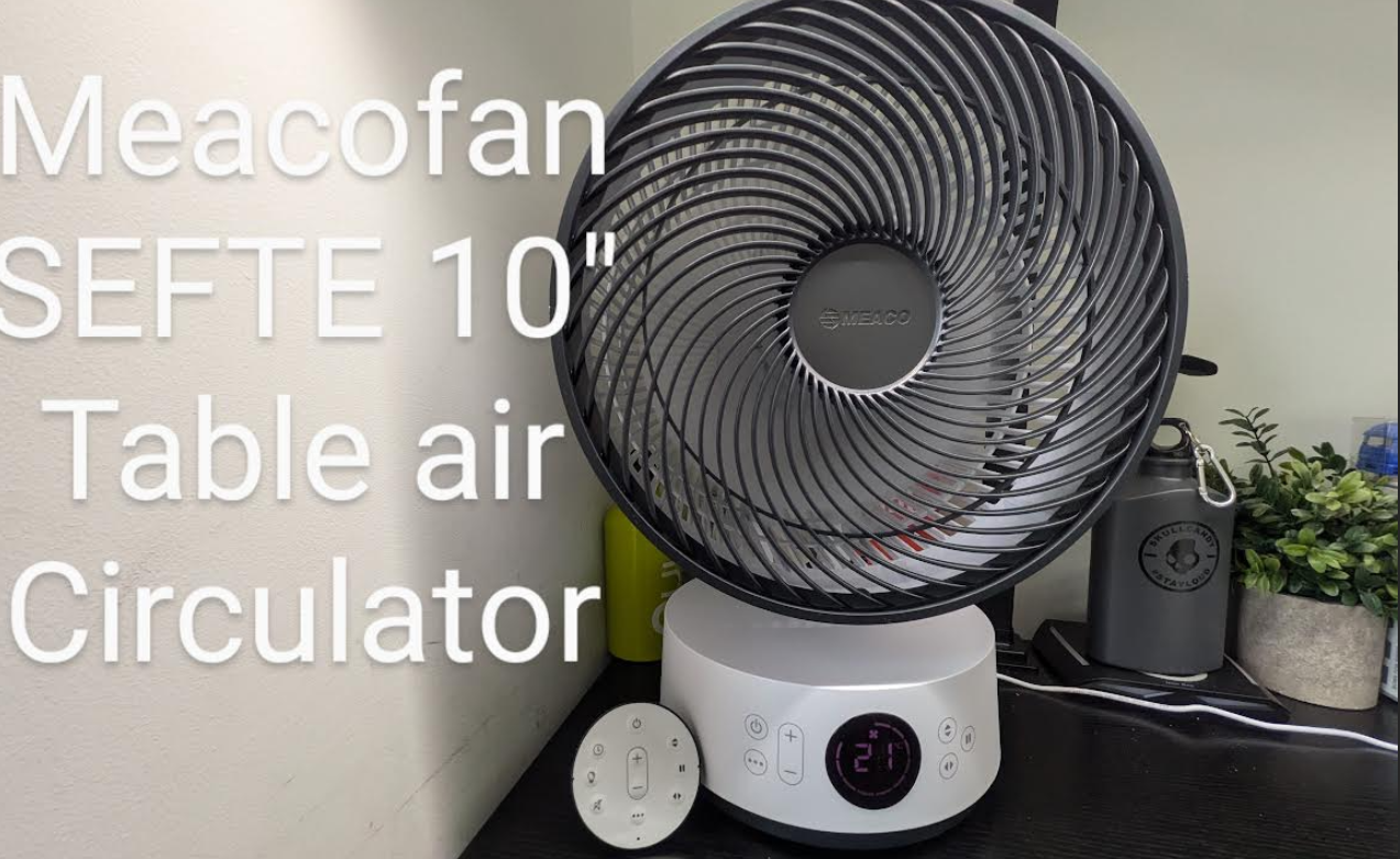
Tech Review – MeacoFan Sefte 10” Table Air Circulator
The MeacoFan Sefte 10” Table Air Circulator is one of a duo of products recently announced by the brand and…

Luna reveals the Luna Band.
Luna has opened the waitlist for the Luna Band, a voice-first wearable built around a single goal: peak state, every…
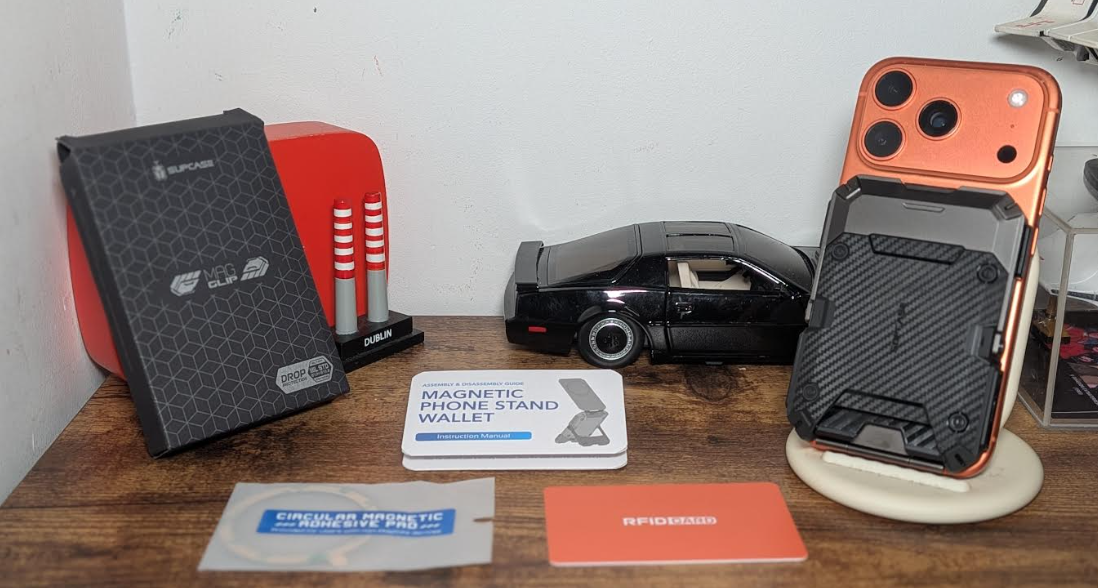
SUPCASE MagFlip Magnetic Wallet Carbon Review
The SUPCASE MagFlip Magnetic Wallet Carbon Edition is a really cool gadget if you want to carry several cards at…
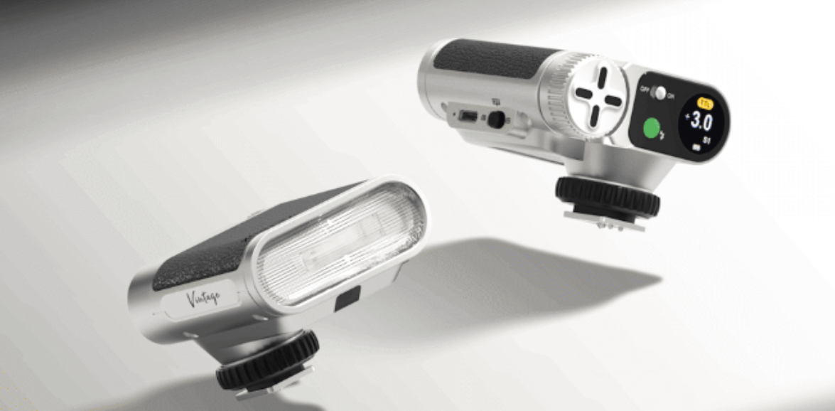
Viltrox Launches the Vintage Z1 Pro Retro-Inspired Compact Flash
Viltrox has announced the launch of its Vintage Z1 Pro, a retro-inspired compact flash. Embracing the signature vintage styling of…