Dublin Drone Innovation Partnership will shape the future of urban air mobility

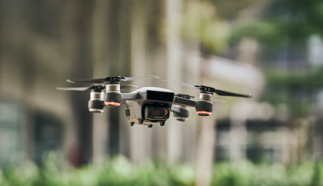
A two-year in-depth study to help prepare Dublin and other European cities for the widespread use of drones in commercial and civic life has been launched today at the offices of Dublin City Council, by the Minister of State at the Department of Transport and the Department of the Environment, Climate and Communications, James Lawless T.D.

The project is led by a research team from Lero, the Research Ireland Centre for Software and Maynooth University, in collaboration with Dublin City Council (DCC), and the Irish Aviation Authority (IAA).

Speaking at the launch, Minister Lawless said: “Ireland has an established record of leadership in regulation of emerging technologies. As drones begin to be used more and more across the globe, at home we have seen them supplying emergency medicines, delivering fast food, used for search and rescue purposes and to enhance public safety among a range of important applications. Earlier this year, the Government held a public consultation on the development of a policy framework for Unmanned Aircraft Systems (UAS), commonly referred to as drones. The research partnership being launched today, between Lero, Maynooth University, Dublin City Council and the Irish Aviation Authority, with stakeholder engagement at its heart, is very much aligned with Government’s efforts to foster the industry’s growth while mitigating safety, security, environmental, privacy, and other concerns.”

Welcoming the announcement, Dr Ciarán Seoighe, Deputy CEO of Taighde Éireann – Research Ireland, the newly established research and innovation funding agency, said: “Research Ireland supports partnerships such as this to bring key stakeholders together, to drive progress and capitalise on the advantages offered by innovative and disruptive technologies. While exploring emerging technologies and systems to capture data and support responses to critical events, this collaborative approach helps us to better understand its potential benefits and impact on wider society. Investing in basic research is of strategic importance to Research Ireland, as it allows us to support a pipeline of transformative solutions to bring about real-world benefits.”

Project Coordinator Professor Tim McCarthy of Maynooth University and LERO believes the project is particularly timely as unmanned drone ecosystems are beginning to emerge globally and involve a wide variety of stakeholders and end-users.

A vital aspect of the research project, according to Prof. McCarthy, will be the creation of a digital twin for Dublin City to explore and simulate urban drone flight ecosystems, allowing researchers to address issues that emerge in a safe and controlled environment.

“This digital twin will capture inputs from all stakeholders, enable simulation of drone activities and provide prototype digital optimisation services in addressing various business, market, safety, privacy, nuisance and environmental concerns,” he added.

The partnership will also deliver a number of ‘state of the art’ drone applications to show the benefits of autonomous and remote piloting of drones to support life-saving and emergency response applications in a Dublin City setting.

“This unique drone innovation partnership will contribute to Dublin City Council’s Drone and Urban Air Mobility Strategy 2024-2029, an ambitious roadmap to support the integration of drones into city services and position Dublin and Ireland as a European leader in Drones and Urban Air Mobility,” said Jamie Cudden, Smart City Lead Dublin City Council.

Enda Walsh, manager of the IAA’s UAS division, believes the partnership will deliver crucial insights for safely integrating UAS into urban environments while maximising benefits to society, and laying the foundation for developing UAS Traffic Management (UTM) for the State.

“The Drone Innovation Partnership project will look at stakeholder concerns and provide crucial information and analysis of the key aspects around security, environment, and privacy for UAS integration into urban environments. It will also support the future establishment of a comprehensive and effective UTM infrastructure for the State, which provides a safe environment for all air traffic while facilitating a growing UAS industry.”


Dublin City Council launches first ever Drone Strategy

Dublin City Council is delighted to announce that it has today launched its first Drone and Urban Air Mobility Strategy 2024-2029 for the city.

This ambitious and forward-thinking Strategy aims to transform how the city utilises drone technology to enhance public services while understanding their future potential.  Increasingly drones are being applied across a range of city services helping to increase service efficiencies, reduce costs and streamline operations. Areas where drones are being applied within the Council include mapping, dangerous buildings inspections or emergency response.   They are also being used to access to hard-to-reach areas for surveys and environmental monitoring, providing better oversight and management of urban spaces.

Eileen Quinlivan, Assistant Chief Executive and Chair of the DCC Drones High Level Steering Group of Dublin City Council, speaking from the launch at the DCC innovation hub in the CHQ building said:

“This strategy marks a significant milestone for Dublin City Council. By embracing drone technology, we are not only enhancing our service delivery but also paving the way for a smarter, more sustainable city. Drones will revolutionise how we approach various tasks, from emergency response and infrastructure inspections to environmental monitoring and urban planning. The benefits for our staff and citizens are immense, and we are committed to ensuring that Dublin remains at the forefront of this urban innovation.”

A new dedicated Drone Unit is being established in the Council to centralise drone operations and support internal departments to accelerate the adoption of the technology. This unit will build on existing capabilities and resources and maximise efficiencies across the Council. The unit will also play a role in supporting innovation in the drone industry by helping develop new services that benefit citizens and communities as the commercial sector grows.

Jim Gavin, Chief Operations Officer in the Irish Aviation Authority, express his support of the Strategy:

“The Irish Aviation Authority is very supportive of public sector bodies developing drone strategies. We are delighted to support this initiative by Dublin City Council to develop their drone strategy where they will drive innovation and development in the drone sector.

By harnessing the potential of drones, Dublin City Council is taking proactive steps to enhance public safety, improve efficiency, and foster economic growth. We believe that this initiative will pave the way for advancements in urban air mobility, benefiting both the public and the broader aviation industry.”

The development of the Drone and Urban Air Mobility Strategy for Dublin City Council has been led through the Smart City programme which supports the council in future-proofing how new and emerging technologies are applied. By fostering a vibrant drone technology ecosystem, Dublin has the potential to attract new businesses and drive economic growth, positioning itself as a leader in this emerging sector.

Julie Garland, Founder and CEO of Avtrain, who provided expertise and guidance on the Strategy emphasised the transformative potential of drones:

“Drones are revolutionising how we think about urban mobility and public service delivery. Dublin’s strategy is a step towards a future where drone technology can improve our daily lives, enhance safety, and contribute to a more sustainable environment. By integrating drones into various city services, cities can streamline operations, reduce response times in emergencies, and provide more efficient monitoring of infrastructure and environmental conditions.”

Philip Butterworth-Hayes, principal consultant of PMI Media Limited, who advised DCC on the Strategy provided an international perspective:

“Dublin’s approach to integrating drone technology into city services sets a new benchmark globally. The strategy’s focus on safety, efficiency, and public engagement is exemplary and will undoubtedly inspire other cities to follow suit. The efficiency gains from using drones for tasks such as infrastructure inspections, environmental monitoring, and emergency response are significant, leading to cost savings and more effective service delivery. The strategy’s commitment to public engagement means that the community is actively involved and informed, fostering trust and collaboration.”

This strategy has been developed through extensive consultation with internal and external stakeholders, ensuring that it aligns with Dublin’s unique needs and leverages the latest advancements in drone technology. The strategy also supports compliance with evolving European Union regulations and emphasizes public trust, safety, and privacy.

For more information and to discover the benefits of the Dublin City Council Drone and Urban Air Mobility Strategy 2024-2029, please visit: https://smartdublin.ie/dublin-city-drone-strategy  and see Drones

ANGOKA flying high as member of international drone group

Belfast cyber security firm ANGOKA has been accepted as a member of Geneva-based Global Uncrewed Traffic Management Association (GUTMA).  

ANGOKA, which specializes in securing the safe passage of uncrewed aerial vehicles (UAV) and remote and automated road transport vehicles, says joining the group will enhance the firm’s international reach in this fast developing sector.  

GUTMA represents organizations involved in innovative drone services and smart mobility solutions enabled by services that keep drone operations at all altitudes safe and efficient. It engages in impactful research and development and in technical, regulatory and political processes to foster a global ecosystem in a fair global drone services market. 

Martin Hawley, ANGOKA Head of Business Development for AAM (advanced air mobility), says GUTMA membership brings ANGOKA into a new sphere of influence at a time when the drone industry is on the cusp of explosive development. 

“Cyber security in the uncrewed traffic management (UTM) space will cement the industry’s reputation as being serious about safety as well as the security of its cargo,” says Dr Hawley.  

“As cyber is seen as a driver of IoT (internet of things) adoption, it will in the same way drive market adoption of drone and uncrewed aerial vehicles solutions and AAM. I’m looking forward to meeting other members of GUTMA to see how we can support the industry.” 

“We are moving faster than ever towards the commercialization of automated flight across many sectors ranging from search and rescue to logistics and traffic management,” he says.     

GUTMA members include Boeing, Airbus, the Federal Aviation Administration and many other leading aviation, electronics and aeronautical businesses. 

ANGOKA has a proven record of creating impenetrable security systems to protect UAVs. The firm has partnered with a number of projects in the UK Research and Innovation’s Future Flight Challenge including Skyway in which air traffic corridors in the south of England have been designated for drones and unmanned aircraft. ANGOKA supplies the Future- Proof security for automated, teleoperated and uncrewed aircraft using these corridors.  

How you can start filming with a drone professionally for under $500 #drones #filming #tech

Guest Post by Paul Archer. – No matter if you haven’t yet even put your hands onto a drone controller, considering the safety of quadcopter technology these days, you can start faster than ever.

The amazing videos you have seen online with super smooth footage and pro-looking following and orbiting techniques may seem amazing, and probably were hard and expensive to do just a few years ago.

However, since technology evolved at an alarming rate, cheaper drones with more advanced features have appeared out of nowhere. Not long ago you had to spend thousands of dollars on big drone rigs that would carry big cameras that could barely shoot in 1080p. Even in more recent history, the Phantom series, although revolutionary was quite pricey and well over $1000 for a capable 4k drone with not many features to brag about.

Drones have become much more portable

Gone are the days where we were amazed by the fact that a 4k drone could fit in a car trunk. Nowadays I can carry my DJI Mavic Air in my pocket.

And we’re talking about a quadcopter that can record in 4k, with a stabilized 3 axis gimbal and lots of proximity sensors.

The revolution has started with the DJI Mavic Pro. The original foldable drone that sold like crazy and made DJI the giant that it is now.

Still a good drone to this day, it’s an absolutely great buy for people looking to make money with filming services even in 2019.

The big difference was that it came with a foldable design and that meant you could simply fit it in a very small backpack while at the same time have the same footprint when flying, which helped with the wind.

What $500 drones can deliver professional results?

This question would have remained unanswered just 2 or 3 years ago, but right now I could easily make a top 5 with my best drones under $500 and I can confidently say they can be used for shooting high quality grade footage and photos.

Let me quickly overview 2 of them and what they could mean for you, even as a beginner pilot.

Xiaomi Fimi X8

A drone released in 2019, comes with a similar foldable frame to the Mavic series, yet at a much lower price.

What are the main advantages?

  • 4k camera
  • 3 axis gimbal
  • Foldable design
  • Follow me functions
  • Other flight modes like Orbit, Waypoints and more
  • Automatic return to home
  • Precise GPS flying
  • 30minute flight time
  • 5km range

The Xiaomi Fimi x8 is one of my favorites because, even if it was more expensive in the past nowadays it only costs under $500 and that’s absolutely amazing for the results you’re being given.

Just check the video down below with how well this drone can actually record footage:

https://www.youtube.com/watch?v=pftkyWYB5xU

If you’re a photographer, the 12mp camera stills that can be shot in DNG RAW format will be more than sufficient for most uses.

DJI Spark

A drone that has been in the marketplace for a while now, it’s more than welcome on our list as a still very relevant and capable quadcopter.

It doesn’t have the foldable format, but instead it’s very small by itself. A less invasive drone, with very smart features and obstacle avoidance embedded in it.

What are the main advantages?

  • 2 axis gimbal
  • 1080p camera
  • Electronic image stabilization
  • Quick shots (that can easily make videos seem professional even without trying)
  • Automatic return to home
  • Precise GPS
  • 15 minute flight time
  • 3 km range

It’s more than a capable drone, it’s very easy to launch from your hand even and thanks to the obstacle avoidance sensors in front, you can take some more risky shots.

Why it’s easier to learn how to fly a done with GPS

More expensive drones are actually more suitable for beginners, as you can simply remove your hands from the joysticks and it will hover in place.This means you can try all the controls one by one without having to constantly adjust for wind direction or simply the drone drifting.

Besides that, there’s also the return to home technology that will return the drone back to you if for example it lost signal or the battery is getting low. I do recommend learning with a small $20 at first just to get the hang of it and carefully checking the instruction manuals, but overall, you can go straight flying with such a drone without much hassle.

Make sure you check flight regulations in your country

Depending on the weight of the drone, most countries have regulations to keep you from doing stupid stuff.It’s pretty obvious you shouldn’t fly near airports and military bases, but with bigger drones you actually might have to register them.Drones like the DJI Spark might be under the weight limit so it could provide an advantage when it comes to this.

As a conclusion, don’t be scared of trying to fly more expensive drones and start a business. You can expand your talent as a videographer and photographer to great heights, literally by simply investing $500 in what is going to be an extremely capable camera drone.

Why Are Delivery Drones Taking Off?. #Infographic #Drones #Tech #Shipping

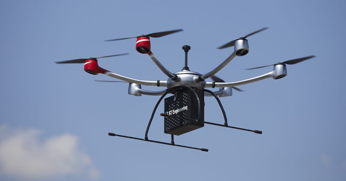
As autonomous technology becomes more advanced, many retailers are exploring how self-driving vehicles can be used to optimise their logistics operations. Find out more about how the ecommerce sector could benefit from delivery drone technology in the infographic below from 2Flow.

McKinsey predict that in the future up to 80% of all items will be delivered by self-driving vehicles and drones. Drones in particular present an attractive option for retailers. While delivery drones have yet to become mainstream, we are already seeing major players within the ecommerce industry experimenting with this technology.   

For example, in 2015 Amazon launched the Prime Air which aimed to deliver goods by drone within 30 minutes to customers in a handful of locations around the world. According to Amazon’s own estimations, the increased distribution efficiency resulting from the use of drones could bring about cost savings of up to 80% for last-mile shipping alone.

Proponents of cargo drone technology say that it could help improve delivery logistics in a major way. Some propose that drones could be used alongside traditional road haulage to cover the last mile of each delivery. This alone could drastically reduce the travel time for last-mile delivery thereby boosting efficiency, saving time and slashing costs.

One example of this is UPS who are experimenting with placing mini-helipads on the top of their vans. According to the company’s own projections, eliminating just a single mile from the routes of each of their 66,000 delivery drivers could save up to $50 million.

However, a few critical issues still remain that need to be resolved before delivery drones become commonplace. The law represents the biggest obstacle, as air space restrictions are greatly limiting where drones can currently travel. What’s more, short battery life means that drones can currently only handle small journeys with small loads.

For more information about delivery drones, take a look at the infographic below.

Project Skybender is Google’s new aim to #5G internet By @VicenteA_George #Google

The internet giant known as Google, develop its business through the internet therefore they are the most interested on having more people using it.

There is where this new project comes in, meet Skybender

Something that you may not know is the fact that even in 2016 only 40% of world population have internet access, reason why, enterprises like Nokia (before and now) and Google are doing their best to improve this situation.

Recently “The Guardian” found out they are testing Solar powered drones to deliver internet access all over the world is a secret project codename “Skybender”.

Building their own prototype transceivers and drones Google experiment with millimetre-wave radio transmissions, this technology can THEORETICALLY transmit up to 40 times more data than current 4G/LTE networks.

This idea was born under the same roof as Project Loon which have the same principle but with self powered balloons, thing that has cause some inconvenience as they enter restricted air zones ending in a not so nice situation.

The improve idea has also newer carriers, in this case the responsible for delivering the data will be a drone and no a common one, Meet the Solara 50, a solar powered drone that’s almost as big as a plane, literally speaking.

This will granted better data transfer rates, as the technology use at the moment has a short range compare to normal cellular signals.

The testing is being held at New Mexico’s desert in Virgin Galactic’s Gateway and we expect to have more details about this new project as well updates about Project Loon in the coming months.

What do you think of this? Are you agree on having drones flying all over? Leave your thoughts on the comment section below.

Source